
Discover Our Maritime History and Our Amazing Seabed
Launch Date: August 2025
PHASE 1: Summer 2025
10 shipwrecks, 10 Seabed features of special Interest and 5 Sites of Special Scientific Interest to be mapped.
The bathymetric datasets will be uploaded and displayed on the Seabed Viewer.
Details of each shipwreck will be published, and links provided to other databases when available.
Datasets will be regularly uploaded to the Seabed Viewer. This will be patchy at first but will develop over time.
Boats and Equipment
See what we use to find stuff

- Survey Boat
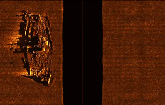
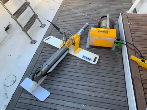
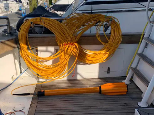
- Side Scan Sonar
- Marine Magnetometry
- Multibeam Sonar


